Showing posts with label 3 Mile Walk. Show all posts

Sunday, 14 March 2021

3.5 mile Walk - Hebden Dale & Hebden Water | Hardcastle Crags | Gibson Mill | Shackleton Wood | Foul Scout Wood


Gibson Mill, or Lord Holme Mill to give it its proper name, was built in around 1800 by Abraham Holme, a farmer and cotton spinner from nearby Heptonstall. It was originally a cotton spinning mill powered by a water wheel until the 1840s when weaving sheds were added, along with weaving sheds for the production of cotton cloth. Manufacturing ceased in 1890, then in the early 1900s, the mill was converted into an 'Entertainment Emporium' with a skating rink and dance floor. This continued until 1945, when the building was left to stand empty until it was bought by the National Trust in 1950, along with the surrounding Hardcastle Crags, and restored as a museum.


Distance: 3.3 miles


Ascent: 300 ft


Walking: Andrew & Gaynor


Weather: Overcast with sunny spells


OS Map: OL21 - South Pennines


Starting point: National trust car park on Midgehole Road, Hebden Bridge.


Photography: Andrew using Nikon D750 / Nikon 24-70 mm f2.8


A walk we've done a few times through the deep, thickly wooded Hebden Dale and Hardcastle Crags to Gibson Mill. The bare moss-covered trees were beautiful and Hebden Water was a raging torrent (well, almost) after the recent heavy rain.


One of many moss-covered trees on the walk. I love the way the light catches the moss and defines the shape of the tree.


New Bridge


Hebden Water at New Bridge


New Bridge


Tree lichen


Hebden Water flowing fast after recent heavy rain


Hebden Dale is a steep sided wooded ravine and there are numerous streams and small waterfalls feeding into Hebden Water


The remains an old sluice and weir


The woodland along the valley is made up of many different tree species. The branches of the oaks in particular form interesting gnarled shapes which will be invisible in a few weeks when the leaves come out.


The old Toll House and remaining stepping stones


Gibson Mill


On popular walks, it's quite common to see tree stumps or fallen trees which visitors have hammered coins into.


Saturday, 6 March 2021

3 Mile Linear Walk - Stanbury | Top Withens


The now ruined farmhouse Top Withens (or Top Withins) is believed to have been built in the late 16th century and remained inhabited until around 1890. The location is thought to have inspired that of Wuthering Heights in Emily Bronte's famous novel, although the building itself bore no resemblance to the one in the book.


Distance: 3.3 miles


Ascent: 500 ft


Walking: Andrew & Gaynor


Weather: Overcast & hazy


OS Map: OL21 - South Pennines


Starting point: Bully Trees Farm, Back Lane, Stanbury


Photography: Andrew using Nikon D750 / Nikon 24-70 mm f2.8


The first time we've been up to Top Withens for a few weeks and the first time it's been clear enough to enjoy the spectacular views for a while. 

I've been fortunate to experience this walk in just about every type of weather and today was cold, still and hazy and felt very peaceful. The only sounds were the many babbling streams and the grouse cackling away. We didn't spot or hear any of the recently returned curlew, in fact most of the wildlife seemed to be keeping a low profile for a change.


Lower Height Farm


Upper Heights Farm


Near Upper Heights Farm


The view across to Oakworth Moor from Flight Hill, close to Master Stones


Flaight Hill


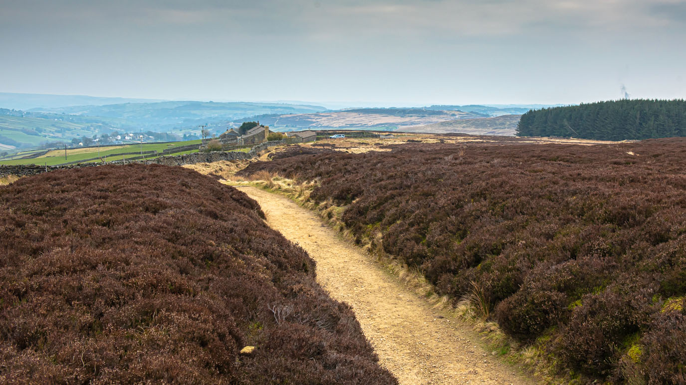
The view ahead to Top Withens


Scar Hill and Sandy Hill with Crumber Hill in the distance


Still a little way to go. The ruins of Lower Withins Farm can be seen just beyond the wall.


The ruins of Lower Withins Farm, which was demolished in the 1930s


One of many interesting features in the walls round here. I'm not sure what this one's purpose was but I'd be interested to find out.


Lone Sycamore tree alongside the path with Top Withens visible in the distance.


The ruins of Middle Withins, which, like Lower Withins, was demolished in the 1930s.


Top Withins. After being abandoned in the 1890s, the building stood empty until it was bought in 1903, along with Lower and Middle Withins, by the Keighley Corporation. In the 1930s when the other two farms were demolished, Top Withens was secured to prevent vandalism, although time has since taken its toll and the roof has long since gone and little remains of the house. The bulk of the ruin is the livestock barn that was attached to the house.


I can't help thinking that it wouldn't have felt as remote up here in the Bronte's time as it does now. There were at least two other working farms close-by, as well as a number of stone quarries. The fact that the building is now a ruin adds to the feeling of remoteness and desolation.


The two sycamore trees to the south of the ruin are popularly known as Cathy and Heathcliff


The view down Dean Beck from Top Withins


The southern side of the ruin


The plaque placed on the building by The Bronte Society doesn't exactly fill the visitor with excitement about the location's links to Wuthering Heights, having, in many cases, made a pilgrimage half way round the world to get here. Whilst the sense of what it says may be true, the wording doesn't exactly reflect the romance of the story.


The board outline the history of the building is very informative and well worth taking the time to read. It's interesting to see how the building used to look and relate that to what remains.


Heading back down to Middle Withins


Approaching Upper Heights Farm
Dry stone wall near Upper Heights farm


View over Stanbury and Lower Laithe Reservoir from Bully Trees Farm


Dry stone wall at Bully Trees Farm


An old stone quarry at Bully Trees Farm with the wind turbines at Ovenden Moor in the distance


A squeeze stile at Bully Trees Farm


Bully Trees farm


9 Mile Circular Walk - Stanbury | Top Withens | Oxenhope Stoop Hill | Top Of Stairs | Leeshaw Reservoir

Distance:  9 miles Ascent:  1400   ft Walking:  Andrew Weather: Frosty & sunny OS Map:  OL21 - South Pennines Starting point:  Bully Tre...