 |
| Goit Stock Waterfall |
Distance: 11 miles
Ascent: 1800 ft
Walking: Andrew
Weather: Sunny
OS Map: OL21 - South Pennines
Starting point: Station Road, Oakworth
Photography: Andrew using Nikon D750 / Nikon 24-70 mm f2.8 & Nikon 70 - 300 mm f4.5 - 5.6
Goit Stock used to be Bradford District's best kept secret, a peaceful, relatively easy walk through woodland, alongside a stream to a beautiful waterfall. Sadly, that is no longer the case and, particularly during lockdown when people aren't able to travel, the hordes descend and the rubbish piles up. We did a short early Sunday morning walk there from Harden a few weeks ago so I decided to try walking there from home as a bit of a challenge.
 |
| Looking over Station Road, Oakworth to Ebor Mill chimney, Lees, Oxenhope and the wind turbines on Ovenden Moor |
 |
| This footpath runs from Victoria Road down to East Royd |
 |
| Crab apple blossom |
 |
| New House Farm, Cackleshaw. |
 |
| Not sure where this was salvaged from. The location name (or part of it is visible at the top) but it's nice t see it preserved in this wall. |
 |
| Looking back at New House Farm |
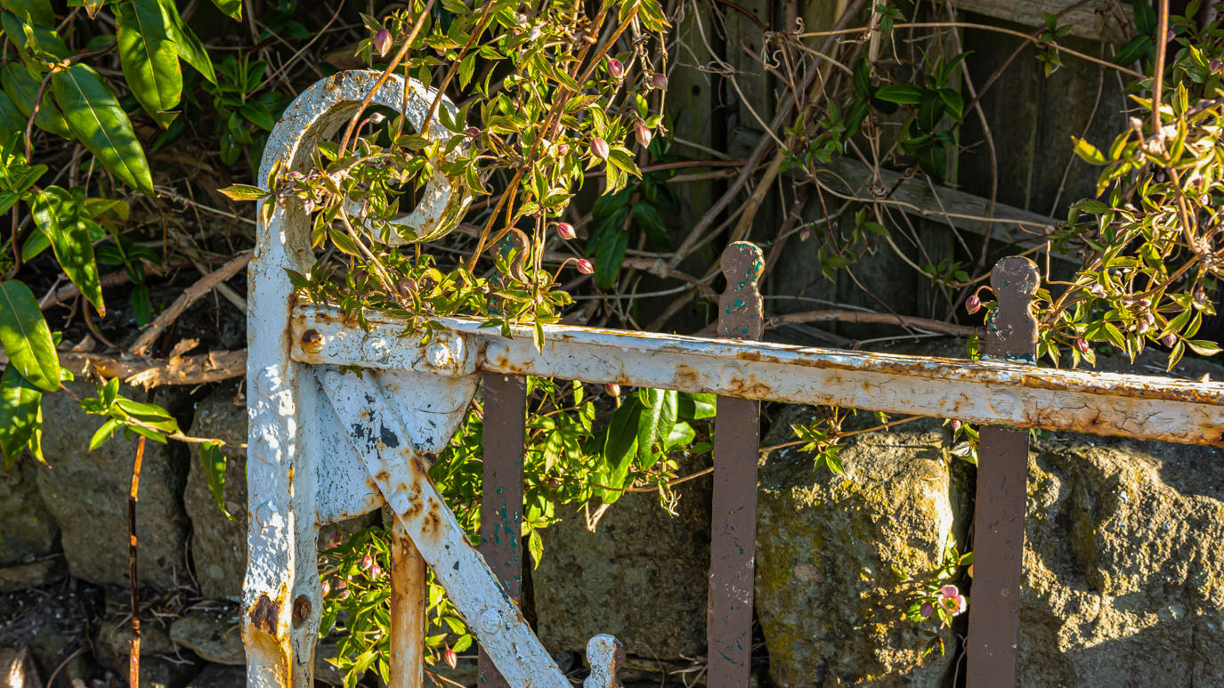 |
| A salvaged Oxenhope gate. Looks like it's been painted a few different colours in its time. |
 |
| Looking back at Cackleshaw |
 |
| Vale Mill, Haworth and Penistone Hill from Harewood Hill |
 |
| Haworth from Harewood Hill |
 |
| Lower Providence Mill chimney & Lodge Farm with Stanbury beyond and Top Withens in the far distance |
 |
| A not-so-friendly local at Damems |
 |
| The level crossing and Damems Station on the Keighley and Worth Valley Railway, which is claimed to be Britain's smallest railway station. It opened in 1868 to serve the nearby mill. It is quite tricky to get to and is really only accessible on foot. |
 |
| Looking up the line from the level crossing to the signal box and Oakworth in the distance |
 |
| The metal roller shutters are an unfortunate, but sadly necessary, addition. |
 |
| This (presumably) garage, near Damems Station, is one of three which, along with the surrounding fences, are covered with these beautiful old enamel signs |
 |
| Hermit Street, in the wonderfully named Hermit Hole. The hamlet apparently got its name from a medieval hermit named Goff who is believed to have lived there. |
 |
| The beautiful violet coloured flowers of honesty (proper name Lunaria), also available in white. These are on Hermit Street. |
 |
| A very steep walled footpath from Hermit Hole up towards Hainworth |
 |
| Another rather stern looking local on the footpath between Hainworth Crag Road and Hill Top Road |
 |
| Above Hermit Hole, looking towards Bracken Bank, Exley Head and Braithwaite |
 |
| Heading up to Hill Top road which, ironically, is only half way up the hill, as it turns out. |
 |
| There is a line of these old walking boots that have been turned into flower pots outside a house on the edge of Hainworth. Note to self... |

 |
| Along with farming and stone quarrying, the pretty hamlet of Hainworth was a thriving weaving centre in the late 18th century. As a photographer, I find it a bit of a frustrating place. There are some beautiful old buildings but the place is always jam-packed with parked cars spoiling the view. |
 |
| This plaque is on a Grade II listed farmhouse on the village green. |
 |
| At the top of the hill, the Guide pub is a familiar and welcome sight, popular with walkers and bikers. It is currently undergoing what look like fairly major renovations which, hopefully, will give it a new lease of life without destroying its character |
 |
| Cotton grass on Harden Moor |
 |
| Harden Moor |

 |
| A large stone quarry pit on Harden Moor |

 |
| The former Midgeham Quarry |


 |
| Woodhead |
 |
| Ryecroft Farm |
 |
| Ryecroft Farm. Note the stone figure on top of the gate post. There are a number of them around the hamlet. Interestingly, the hamlet's water all comes from a spring as it is not connected to the mains water supply. |


 |
| Heading out of Ryecroft towards Harden |


 |
| This Grade II listed boundary marker stone, dated 1783, stands at the junction of Hill End Lane and Ryecroft Lane in Harden. The inscription is, unfortunately, virtually impossible to read. |


 |
| The lane leading down to Goit Stock Cottage |

 |
| Goit Stock Wood |
 |
| Hallas Beck |


 |
| Wood anemones |
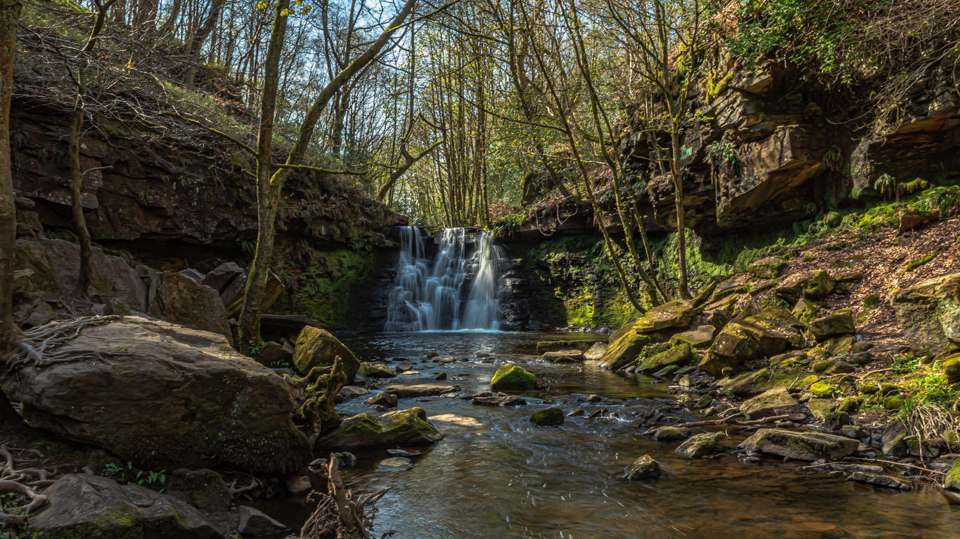 |
| Goit Stock Waterfall. The 20ft high waterfall was originally known as Hallas Lumbs until it's name was changed in 1820. It is a popular spot on warm days and can become quite busy so I always try to get here early. |


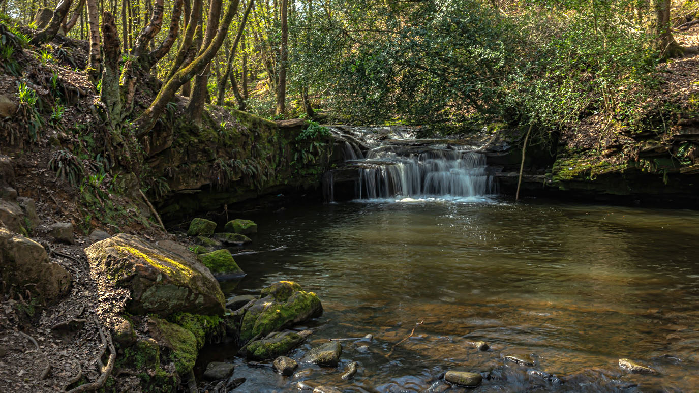 |
| There are a number of smaller falls on the beck, including this one just above the main falls. |


 |
| The bridge at Hallas Bridge |
 |
| Bents Mill is a beautiful old building, now converted into apartments. |

 |
| Some of the first bluebells I've seen this year |


 |
| Hewenden Viaduct, just outside Cullingworth, is one of the highest in the country at 123ft. It was built by The Great Northern Railway and construction began in 1880, finishing in 1883. It has 17 arches and spans a distance of 576 yards. The line closed in 1963 and the viaduct is now part of the Great Northern Railway Trail footpath. |


 |
| Hewenden reservoir is to the south west of the viaduct and was built in the 1840s to supply the mills further down the valley |

 |
| A view of Harecroft from the top of the viaduct |
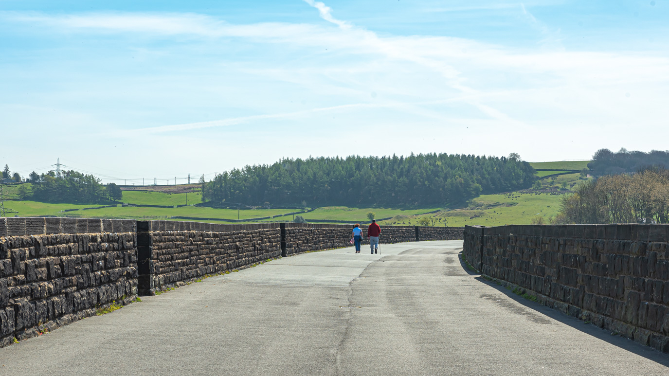

A viewing platform has been built at he Cullingworth end of the viaduct and it really gives you a sense of the scale of it.

 |
| East Manywells Farm |

 |
| An old field rake, probably from about 1930s just outside Cullingworth |
 |
| It looks like there was once an iron kissing gate here but I would it was removed, as so many were, during the Second World War. |
 |
| Flappit Spring |
 |
| This old field gate has, at some point, been cut in half and welded back together to fit a smaller gateway (you can see the join down the middle) |
 |
| Forsythia blossom |
 |
| The view down over Cross Roads towards Keighley from Haworth Brow Top |
 |
| The same view (almost) with a different lens |
 |
| Haworth |
 |
| Footpath down to Hebden Road with Ebor Mill chimney to the left and Lower Providence Mill chimney to the right |
 |
| A similar view from Hebden Road |
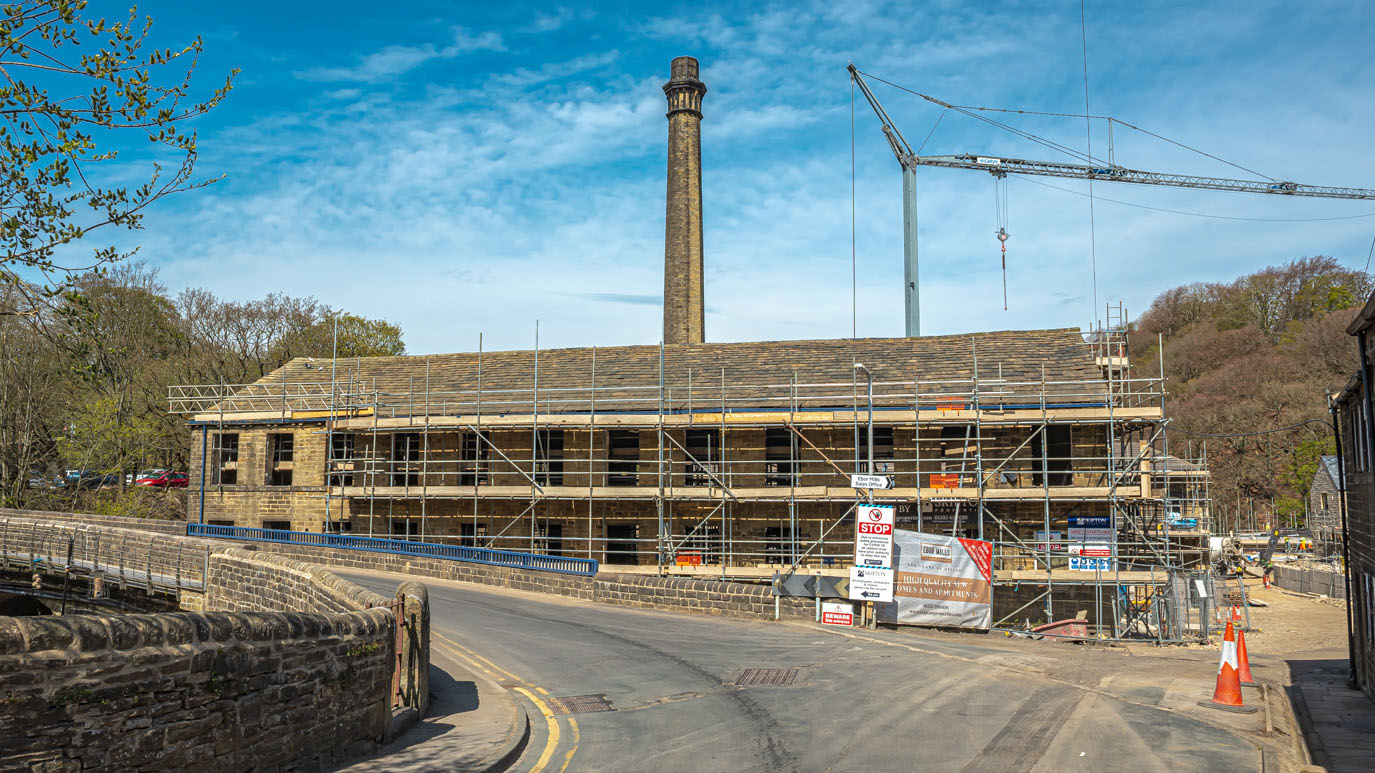 |
| The conversion of Ebor Mill into apartments is well under way. |

 |
| Footpath along Bridgehouse Beck |

 |
| Some more bluebells in Murgatroyd Wood |
 |
| Gingerbread Dam, near Vale Mill |

 |
| Looking back towards Vale Mill |
 |
| Footpath up to Oakworth |
 |
| Lower Providence Mill chimney |
 |
| Dockroyd |
 |
| Aubretia in Dockroyd |
 |
| An old horse trough in Dockroyd |
 |
| Tulips on Station Road, Oakworth |


