 |
| The view over Oxenhope and Lea Hill from Clutch Hill |
Distance: 2.3 miles
Walking: Andrew & Gaynor
Weather: Sunny with ice and some lying snow
OS Map: OL21 - South Pennines
Parking: Station Road, Oxenhope
Photography: Andrew using Nikon D610 / Nikon 24-70 mm f2.8
A stunning short walk around Leeming Reservoir, at least it would be in summer. The ice, snow and mud underfoot made it very hard going in places but the views over the snow-capped hills were spectacular.
We downloaded this easy-to-follow walk from the Bradford City Council website (we did vary the route slightly). You can download it HERE.
 |
| Trees on Jew Lane, Oxenhope |

 |
| Leeming Water adjacent to Jew Lane |
 |
| Looking back down Jew Lane |
 |
| Looking back towards Oxenhope from Isle Lane |
 |
| Leeming Reservoir and Leeming from Isle Lane |
 |
| Leeming, including Waterside Mill across Leeming Reservoir. The mill was built in 1847 and has variously been known as Syke Mill, Bank Mill and Leeming Mill. It was originally a steam powered worsted mill employing around 150 people but it closed in the early 1980s and was converted to apartments in the early 1990s. |
 |
| Two mills and a number of houses were demolished to allow the construction of Leeming Reservoir in 1872-3. |


 |
| The path around the reservoir was icy where it was in the shade but very wet and muddy in more exposed locations |
 |
| There were a number of stiles on the route. This is what is known as a squeeze stile, for obvious reasons. It never ceases to amaze me the variety of different stiles you come across when out walking. Every one seems to be different. |


 |
| There were also a couple of kissing gates. |

 |
| Looking back from near the footbridge crossing the overflow at Farther Isle |


 |
| Heading towards Leeming |
 |
| This section of the path was particularly wet and muddy, with a bit of ice thrown in for good measure. |
 |
| Looking back on the same section of wet, muddy path |


 |
| Heading up to join Sykes Lane |

 |
| The view over Waterside Mill and the reservoir from Scar Hall |
 |
| Tansy End |
 |
| The view from Tansy End |
 |
| Looking back to Tansy End |
 |
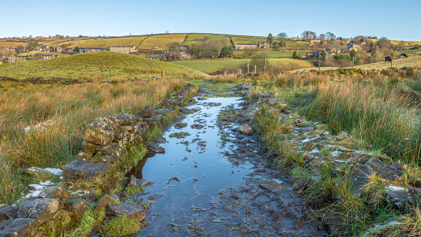
| The view across Oxenhope from Clutch Hill |
 |
| Steep path heading down from Lower Heights Farm |


 |
| Looking back up the quite challenging path we'd just taken from Lower Heights Farm |
 |
| Denholme Road |
 |
| Lowertown Mill chimney. The mill buildings have been converted to apartments. |


No comments:
Post a Comment