|
| Church Lane, Haworth |
Distance: 10.5 miles
Ascent: 1300 ft
Walking: Andrew
Weather: Overcast with occasional showers. Cold & windy.
OS Map: OL21 - South Pennines
Starting point: Station Road, Oakworth
Photography: Andrew using Nikon D750 / Nikon 24-70 mm f2.8
The weather forecast was not too good so I hadn’t planned a route for this walk but decided I’d just set off and see where I ended up.
My first intended destination was Keighley Moor Reservoir but, by the time I got to Irish Lane, the going was pretty rough, so I decided to head down into the valley.
Haworth is always a good bet, even on a dark, cold miserable day, as the weather adds to the atmosphere. Having got to the churchyard and taken a few photos, there were signs of improvement, so I headed over Penistone Hill and up onto Haworth Moor to explore some different footpaths around Harbour Lodge.

 |
| Christ Church, Oakworth was built in 1846 at a cost of £2000. |
 |
| One of many old buildings in the village that have been re-purposed |
 |
| Bridge Street, Oakworth. |
 |
| Denby Hill Road, Oakworth |
 |
| Irish Lane, Oakworth. Having got this far, I changed my mind about heading for Oakworth Moor due to the biting wind and driving rain, and headed back down to the more sheltered area in the valley. |
 |
| Oakworth viewed from Irish Lane |
 |
| Tim Lane, Oakworth with Haworth on the hill opposite. |
 |
| Haworth seen from Tim Lane. |
 |
| Tim Lane. |

 |
| The view up the Worth Valley from Tim Lane |
 |
| Lord Bridge |
 |
| Friendly locals at Lord Bridge |
 |
| Oakworth from Lord Lane, Haworth |
 |
| The 18th century Manor House on Changegate, Haworth is Grade II listed. |
 |
| This 17th century house, 26 & 28 North Street, is also Grade II listed. |
 |
| Church Street, Haworth |

 |
| The Bronte Parsonage Museum, Haworth, where the Bronte sisters lived and wrote their famous novels in the mid 19th century. |
 |
| The cawing of the rooks that nest in the churchyard trees adds to the eerie atmosphere of the place. |


 |
| Lower Laithe reservoir and Stanbury from Penistone Hill |
 |
| Milking Hill Farm with Lumb Foot beyond |
 |
| Lower Laithe Reservoir |

 |
| Lower Laithe Reservoir and Stanbury |

 |
| View from Intake Farm |
 |
| A characterful gate at Intake farm |

 |
| Looking back towards Intake Farm |
 |
| The remains of an old dry stone wall on Intake Farm |
 |
| Another view of Stanbury across Lower Laithe Reservoir |

 |
| Ruined farm buildings |
 |
| Near Enfield Side |


 |
| A wonderful example of local craftsmanship at Near Enfield Side |
 |
| A newly repaired ladder stile onto the main path to the Bronte Waterfall |
 |
| The view back over Near Enfield Side to Stanbury |
 |
| The ruins of Middle Intake Farm |

 |
| Bully Trees Farm and Cold Knoll Farm |


 |
| Harbour Hole Bottom. From here the stream drops down to the Bronte Waterfall and into Salden Beck |
 |
| A grouse butt at Harbour Hole Bottom |
 |
| Harbour Hole Bottom |
 |
| A memorial to a former moor keeper near Harbour Lodge |
 |
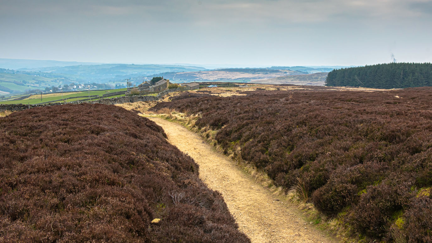
| Haworth Moor and Leeshaw Reservoir |

 |
| The view ahead towards Oxenhope |

 |
| Alpacas at Windle House Farm |

 |
| Hanging Gate Lane, Oxenhope |
 |
| The view from Hole across to Brow Top, Lees and Cross Roads with Keighley in the distance |

 |
| Hole |

 |
| Looking back towards Hole |
 |
| The Old Hall dates back to 1621 and is one of the oldest buildings in the village. There are two long tunnels in the cellar, one of which connects to the church. These were used by the original owners, The Emmotts, to help fellow catholics escape persecution at a time when it was illegal to practice their faith. |
 |
| This copper sign listing local places of interest was erected in 1937 to commemorate the coronation of King George VI. |
 |
| An appropriate message at the moment. |
 |
| Relatively new cafe with a 1940s theme, inspired by the village's hugely popular annual 1940s weekend, held every May. Let's hope it can go ahead this year. |
 |
| Main Street, Haworth |


 |
| Sundial on a very old house on North Street, Haworth. They also have a number of beautiful old fire insurance plaques on the wall. |
 |
| Oakworth, seen from Mytholmes. |
 |
| The third of the 1843 public notice plaques (see previous walks), warning of the potential consequences of trespassing on Ebor Lane or Providence Lane. |
 |
| Providence Lane, Oakworth and Lower Providence Mill chimney from Mytholmes Lane |
 |
| Mytholmes Lane as it passes over Mytholmes Tunnel |

 |
| Vale Mill, Oakworth |
 |
| Perks' cottage from the film The Railway Children. The house to the right wasn't built when the film was made. |
 |
| Oakworth Station. |