 |
| The Bronte Waterfall |
Distance: 9 miles
Ascent: 1000 ft
Walking: Andrew
Weather: Foggy
OS Map: OL21 - South Pennines
Starting point: Station Road, Oakworth
Photography: Andrew using Nikon D750 / Nikon 24-70 mm f2.8
After the warm sunny weather of the previous day, I had a full day's walking and taking photos planned, only to be greeted by thick fog. I wasn't going to let that put me off though. The usual views across the valley from Penistone Hill and Haworth Moor were pretty much obscured but I still ended up taking loads of photos, as always.
 |
| This hidden footpath runs parallel to Station Road down from Dockroyd |
 |
| This path links Station Road and Providence Lane with this section passing the old dry mill pond known as Gingerbread Dam. |
 |
| The sawn-off bottom section of an old cast iron lamp post, set into the wall at Gingerbread Dam. |
 |
| The mossy walled footpath that runs down the side of Gingerbread Dam to Hoot Corner. Vale Mill can just be seen through the trees. |
 |
| Hoot Corner, the corner of one of the buildings at Vale Mill. |
 |
| A sluice gate that regulated the level of a large mill pond at Vale Mill which was drained in the 1980s |
 |
| Vale Farm and a beautiful kissing gate in the traditional Oxenhope style, which the owners of the farm had made to match a number of field gates nearby. |
 |
| Footpath that runs from Vale farm to Ebor Lane alongside Bridgehouse Beck and, further on, the Keighley & Worth Valley Railway. |
 |
| Moss like this is a common feature on the dry stone walls around here. It appears to glow in low light. |
 |
| Ebor Mill chimney can just be seen through the trees and mist. |
 |
| Last year's beech leaves still clinging on. |
 |
| Ebor Mill |
 |
| Ebor Mill. Work is well under way to convert the remaining buildings into apartments. |
 |
| Primitive Methodist Chapel, Mill Hey looking very sorry for itself |
 |
| Telephone box (working) at Haworth Station |
 |
| Victorian post box at Haworth Station |
 |
| A very old sign at the junction of Butt Lane and Main Street, Haworth |
 |
| Main Street, Haworth |
 |
| Seems the global pandemic is affecting everyone |
 |
| Probably related to the railway, this mile stone is situated outside the Hawthorn restaurant on Main Street |
 |
| Looking back down Main Street |
 |
| This ginnel runs off the top of Main Street |
 |
| The Bronte Parsonage Museum and St Michael and All Angels Church |
 |
| Snowdrops in Haworth churchyard |
 |
| A suitably atmospheric Bronte Parsonage Museum |
 |
| Heading from the churchyard towards Sowdens farm |
 |
| Heading up towards Penistone Hill |
 |
| Looking back towards Stonecroft Farm |
 |
| Waymarker on Penistone Hill |
 |
| Silver birch tree on Penistone Hill |
 |
| Great to see a flock of lapwing here |
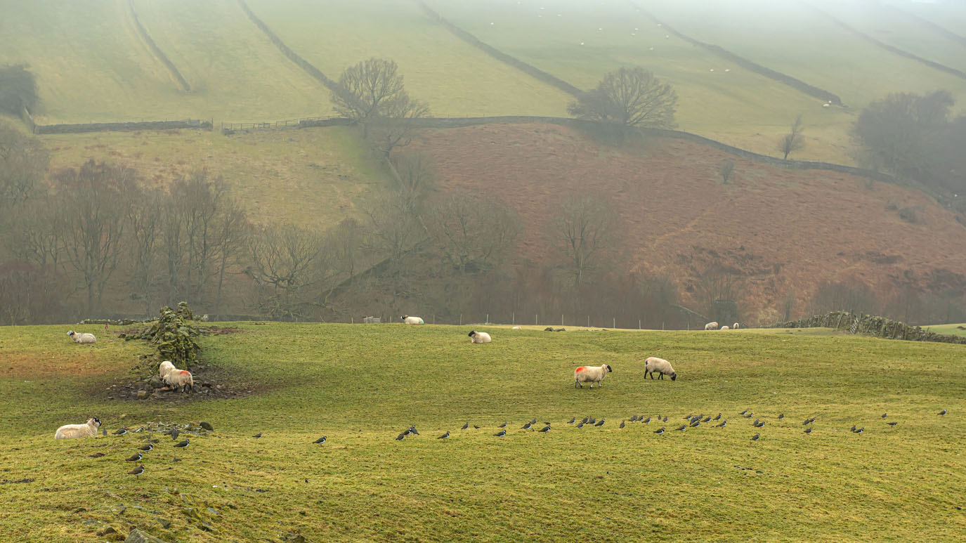 |
| Flocks of sheep and lapwing |
 |
| You can normally see Top Withens from here |
 |
| The Bronte Bridge crosses Sladen Beck. There is no actual evidence that the Brontes ever visited here but it is more than likely |
 |
| The Bronte Waterfall. It's unusual to see so much water coming down the falls. When most of the visitors are her in summer, It is barely a trickle |
 |
| Oh well, that proves it then. |
 |
| The Bronte Bridge |
 |
| Looking back towards the waterfall |
 |
| Virginia, apparently. |
 |
| This small flock of sheep at Bully Trees Farm always look like they are a band posing for an album cover |
 |
| An interesting section of dry stone wall at Bully Trees Farm |
 |
| Back Lane, Stanbury |
 |
| An opportunity to see a traditional stone roof close up with a weather-beaten door thrown in for good measure |
 |
| A rough track off Main Street, Stanbury, with a view across the valley |
 |
| The impressive Manor House, Main Street, Stanbury was built in 1753 by George and Mary Taylor and is Grade II listed. Unfortunately, it appears to be in need of a considerable amount of TLC. |
 |
| A steep walled footpath down to Lumb Foot |
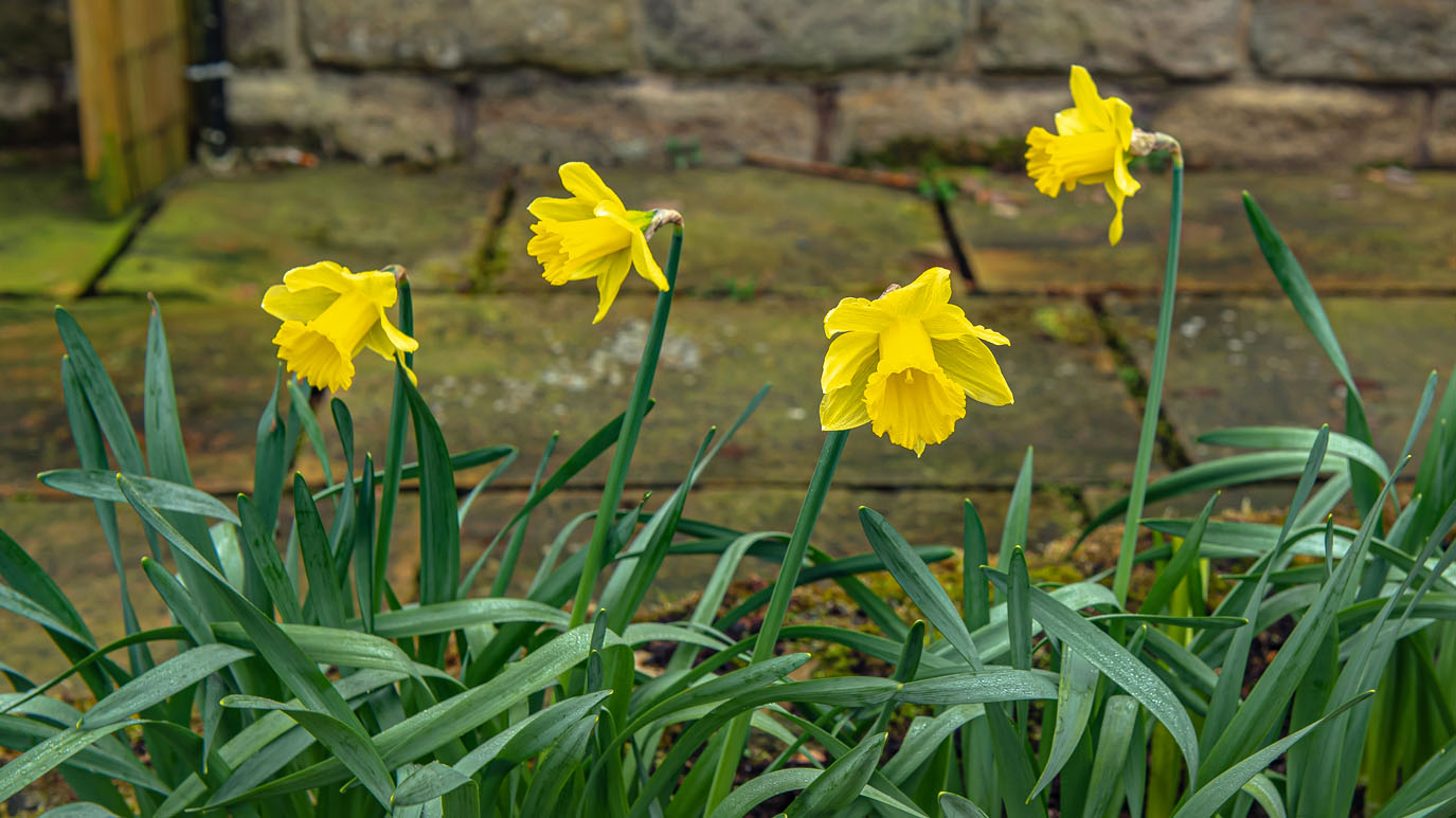 |
| The first daffodils of spring |
 |
| A Lumb Foot resident |
 |
| Lumb Foot |
 |
| A 1950s grey Ferguson tractor at Lumb Foot |
 |
| Footbridge over The River Worth at Lumb Foot |
 |
| Looking back down Lumb Beck |
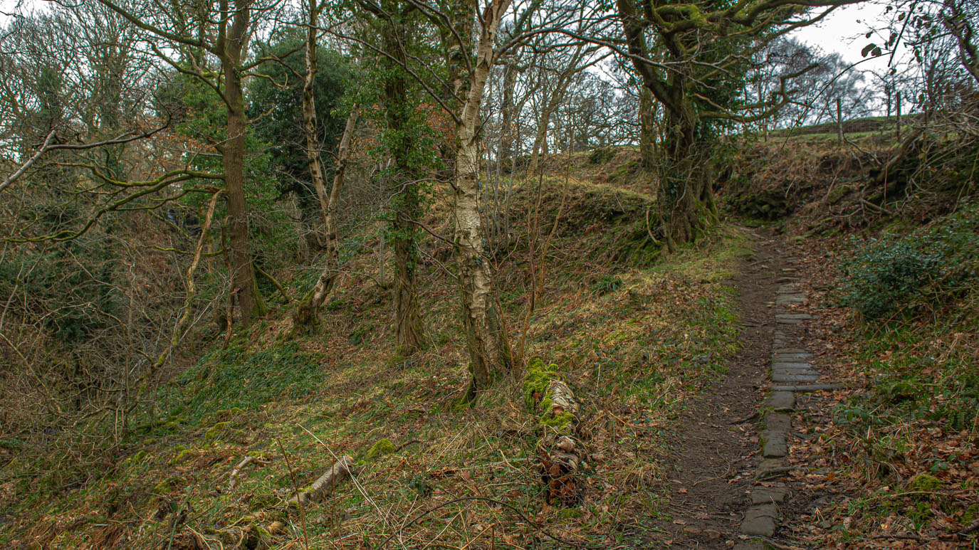 |
| The path up the steep hill alongside Lumb Beck |
 |
| Lower Scholes |
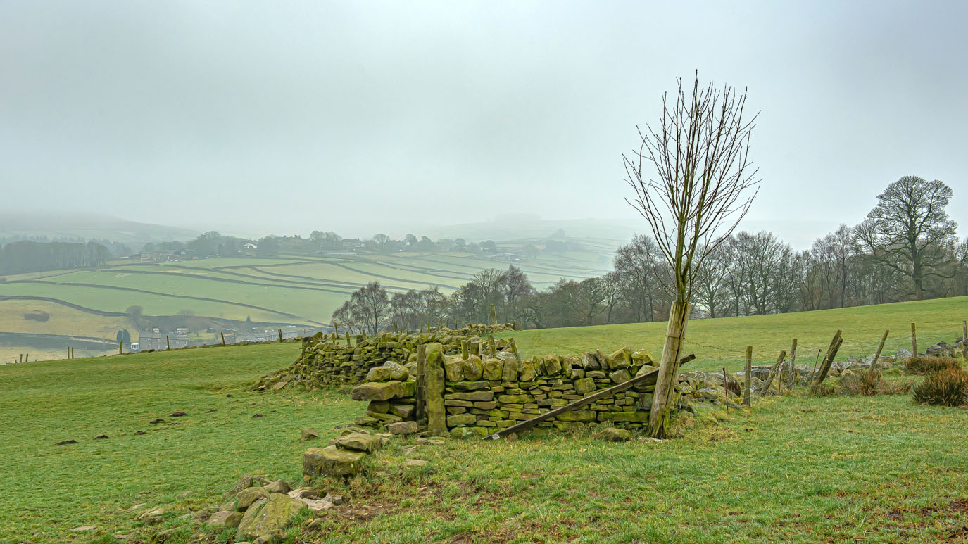 |
| Looking back over the valley to Stanbury from Lower Scholes |
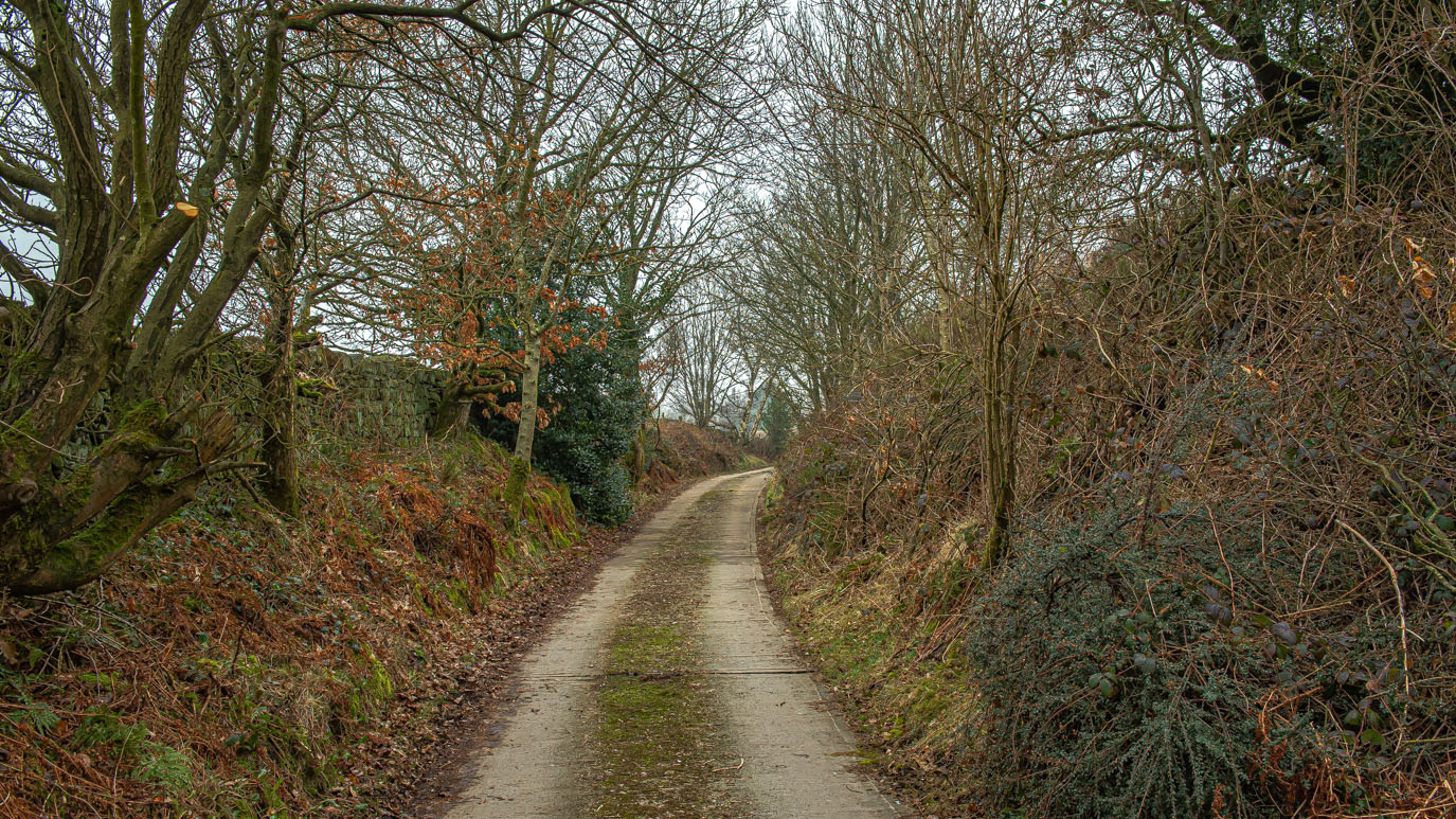 |
| Scholes Lane |
 |
| Primroses on Scholes Lane |






No comments:
Post a Comment