Distance: 10.1 miles
Ascent: 927 ft
Walking: Andrew, Tim & Mark
Weather: Low cloud, warm
OS Map: OL21 South Pennines
Parking: Morkin Bridge, Slippery Ford BD22 0QE
Pork pies: RH Bings & Sons Butchers, East Ardsley
Photography: Andrew using Nikon D610 / Sigma 10-20 mm f4-5.6
A fantastically varied circular walk starting from Slippery Ford, near Oakworth, which includes open moorland, a secluded reservoir, two hill-top monuments with spectacular views and the largest boulder in Yorkshire.
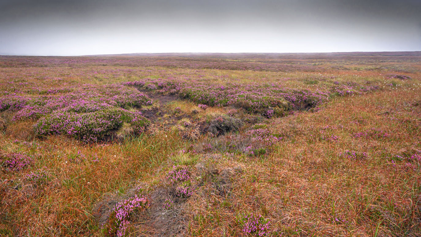
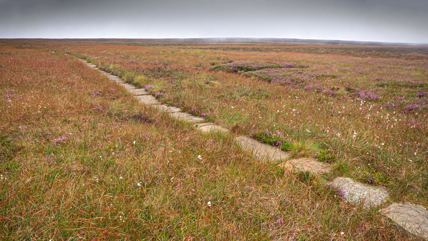
Walking up onto Keighley Moor from the Slippery Ford, the cloud cover was very low and just skimming the tops of the hills, making the moor seem very wild and bleak. At least it would have done if it hadn't been for the beautiful sea of purple blooming heather stretching as far as the eye could see.
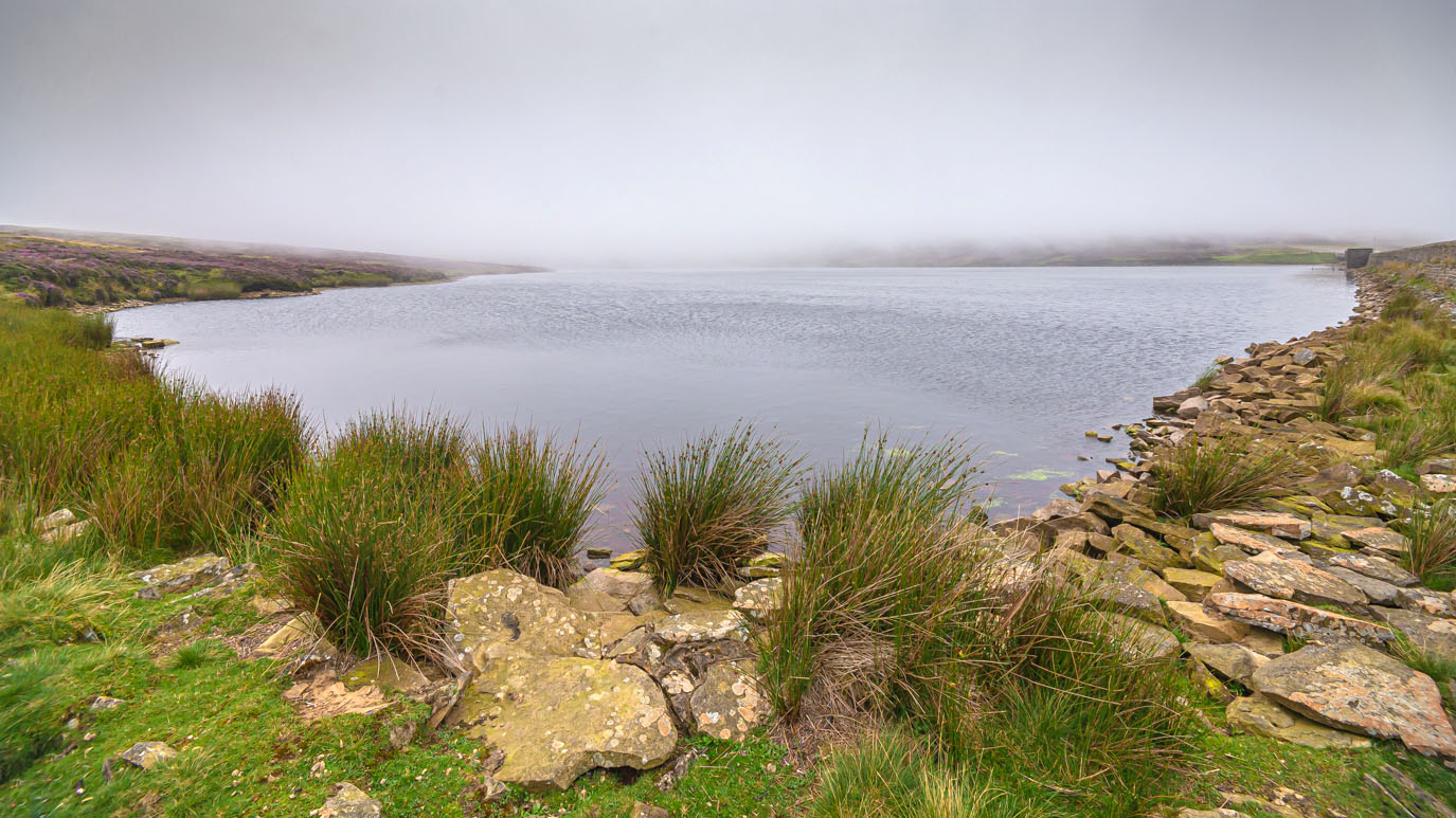
First stop, Keighley Moor Reservoir. We were a bit puzzled by the large rock on a rope, on a plinth. I'm sure there's a logical explanation.....
As we passed over the crest of Cat Stone Hill, the view opened out in front of us, although the low cloud meant that it was severely restricted compared with a clear day. It was still stunning.
Continuing down the slope, a small stone building appeared in the distance and this, after a bit of debate and Googling, turned out to be a shooting hut, used by local grouse shooters for overnight stays to allow them to be out on the moors early in the morning. It was 13th August when we did this walk, the day after the Glorious 12th, and it was heartening to see so many grouse still flying about.
This turned out to be the first of many such huts dotted about further down the hill, each with its own distinctive character and they had clearly been there a very long time. The local shooters stay in them overnight to allow them to be out on the moor early in the morning.
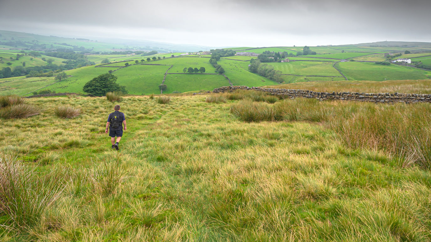
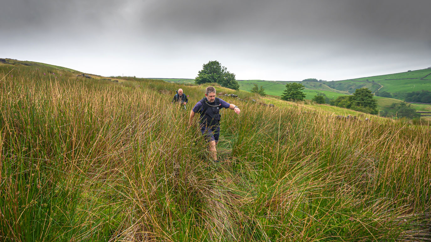
By this point, Dean Moss, the cloud had lifted slightly and the views across the valley were amazing. At Further Dean Hole, the path became difficult to follow as we found ourselves wading through boggy shoulder-high grass but eventually we reached the stream below Pondhill Farm.
From there we began the long but not too steep ascent up to Wainman's Pinnacle, high up on Earl Crag, where the views over the village of Cowling are spectacular, even on a day like this.
The ledge directly below the monument provided the perfect place for us take a short break to admire the view and tuck into the tasty pork pies Mark had brought along.
From there, our route took us along the top of Earl Crag to Lund's Tower, or the Pepper Pot, if you prefer, where we climbed the narrow spiral steps to the top and again took in the incredible views before retracing our steps back to the Salt Pot.
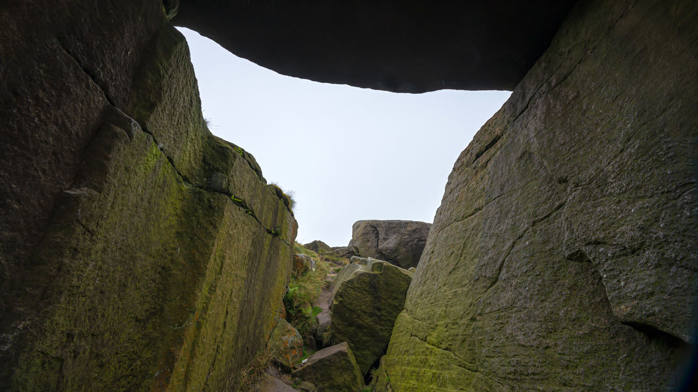
The final point of interest is just a short distance away on Hitching Stone Hill. The ancient Hitching Stone itself is said to be the largest boulder in Yorkshire and in times gone by was the site of markets, fairs and council gatherings.
Following the line of an old dry stone wall, we made our way back over Keighley Moor to Slippery Ford, from where we had started the walk several hours earlier.