 |
| The footpath along the River Worth below Haworth |
Distance: 4 miles
Ascent: ?? ft
Walking: Andrew & Gaynor
Weather: Sunny
OS Map: OL21 - South Pennines
Starting point: Station Road, Oakworth
Photography: Andrew using Nikon D750 / Nikon 24-70 mm f2.8
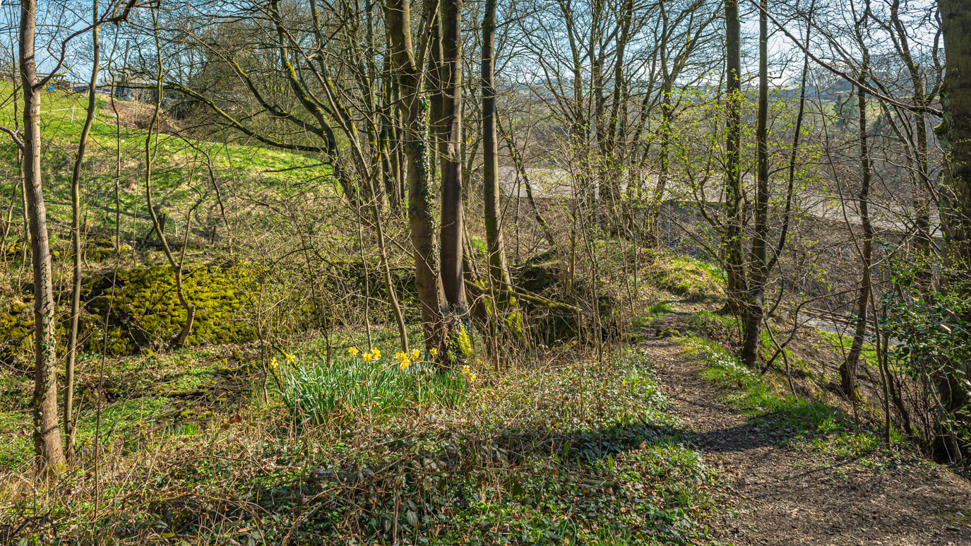
Another beautiful walk from home with more signs of spring appearing everywhere, from masses of daffodils to the first hawthorn blossom.
 |
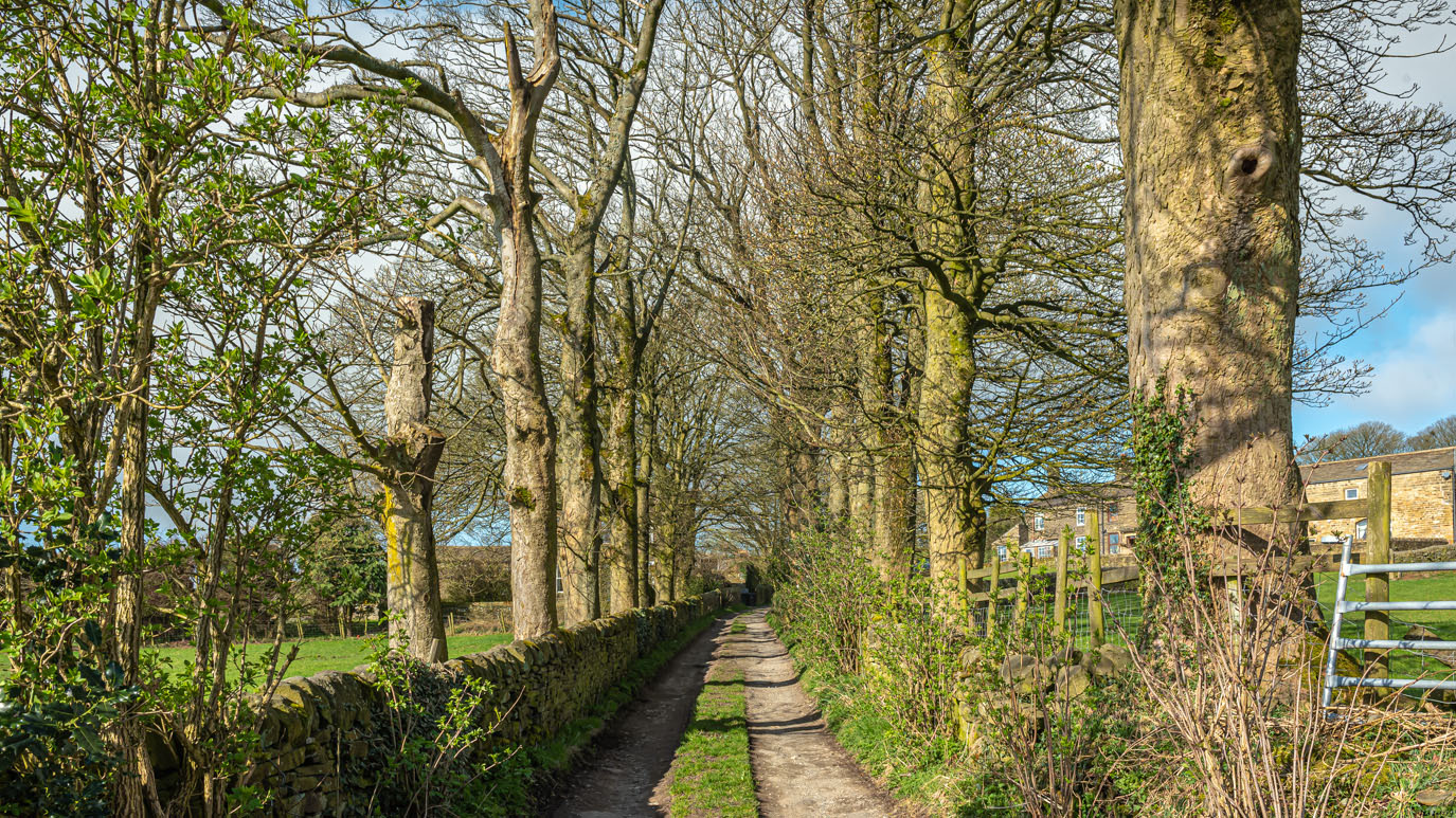
| Footpath between Mill Lane and Hill Top Road, Oakworth with a very old stone gatepost. |
 |
| Oakworth Farm Road |
 |
| Oakworth Farm |
 |
| The view across The Worth Valley towards Penistone Hill and Haworth Moor from Green Well Farm |
 |
| Near Green Well Farm |
 |
| The footpath from Green Well Farm passes through a beautiful private garden with spectacular views across the valley |
 |
| Looking back along the footpath |
 |
| I love the way the light catches these trees, still in the private garden |
 |
| Wobbly stile, looking back into the garden |
 |
| Looking across the valley to Penistone Hill |
 |
| Approaching Lower Scholes |
 |
| The view over the valley to Lumb Foot and Stanbury from Lower Scholes, with Top Withens just visible on the horizon |
 |
| Approaching Lumb Beck |
 |
| The wooded banks of Lumb Beck |
 |
| The old packhorse bridge at Lumb Foot |
 |
| Lumb Foot |
 |
| Lumb Foot's newest residents |
 |
| The lamb on the right belonged to a different ewe and this one kept butting it away..... |
 |
| ...but it was eventually reunited with its mother. |
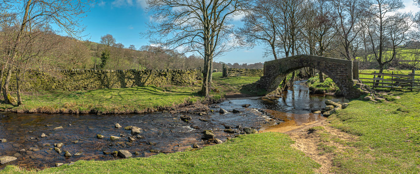 |
| Long Bridge crosses the River Worth below Haworth at the point where Sladen Beck joins it |
 |
| Most of these old field ponds have been filled in by the farmers so it was nice to see this one |
 |
| Gorse seems to flower at all times of the year round here |
 |
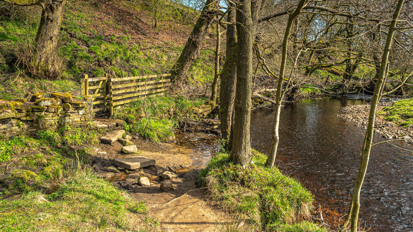
| Lesser celandines on a bank near the river |
 |
| This weir was used to regulate the flow of water for Springhead Mills, a short distance downstream |
 |
| The remains of winding gear for the sluice gate |
 |
| The River Worth near Lord Bridge |
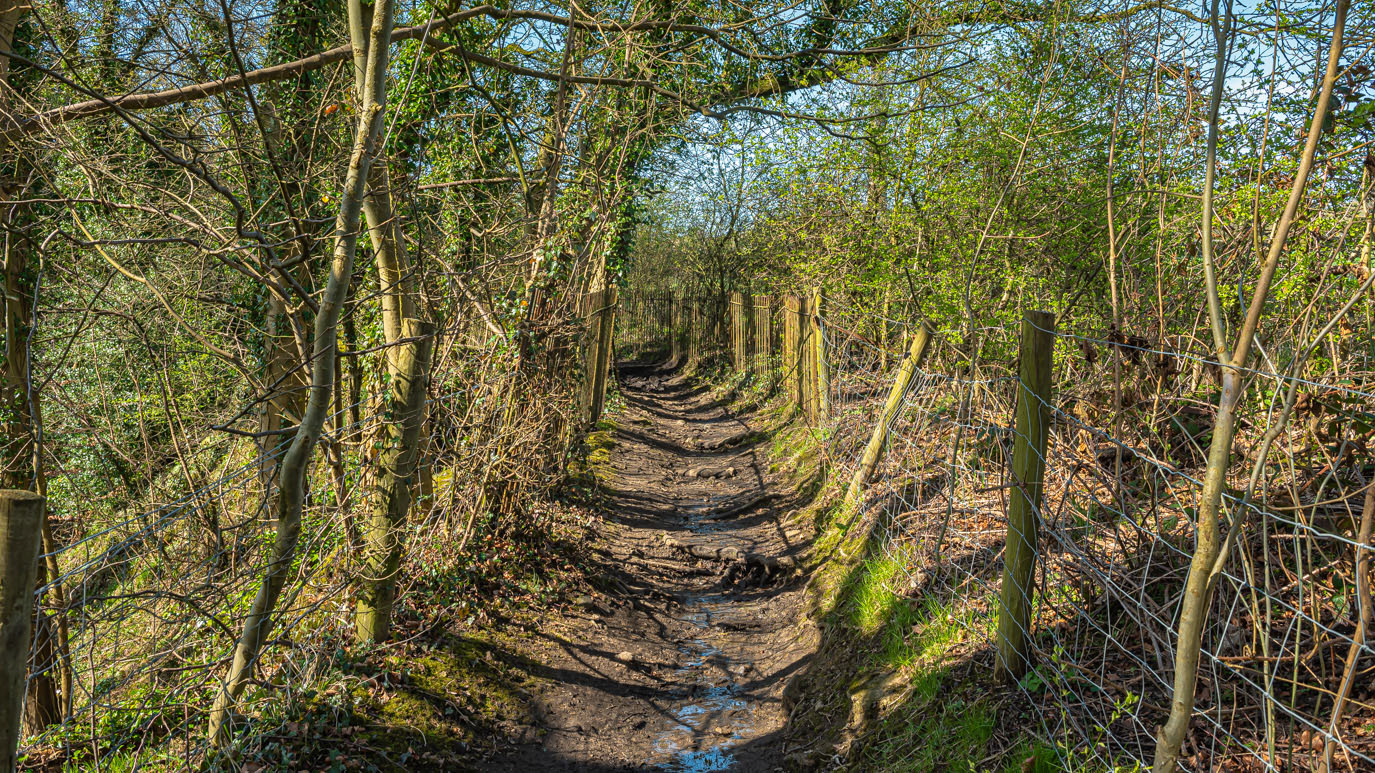 |
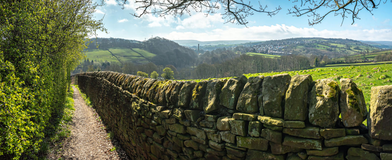
| Footpath between Providence Lane and Station Road |
 |
| Gingerbread Dam, above Hoot Corner, was a small reservoir that served Vale Mills |
 |
| Lower Providence Mill Chimney with Lower Laithe Farm behind |
 |
| Hawthorn Blossom at Dockroyd |
 |
| Ebor Mill chimney and Haworth from the footpath up to Dockroyd |






No comments:
Post a Comment